


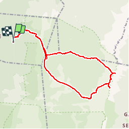


5.3 km | 10.6 km-effort


User


FREE GPS app for hiking
 SityTrail
IGN / Geographical institutes
SityTrail World
The world is yours!
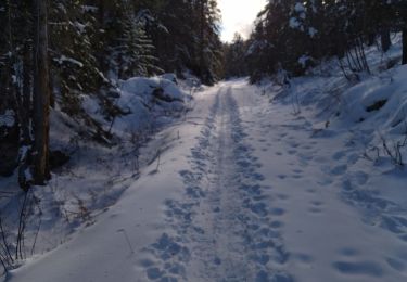
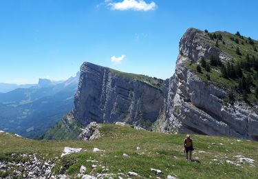
Trail Walking of 19.2 km to be discovered at Auvergne-Rhône-Alpes, Drôme, La Chapelle-en-Vercors. This trail is proposed by ageo.
Très belle rando. Nécessite de maîtriser l'orientation en terrain non balisé. Passage dans le Purgatoire (lapiaz) rédhibitoire pour certains.

Walking

Walking

sport
Walking
Walking
Walking
Walking

Snowshoes
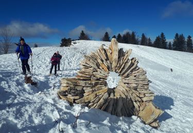
Snowshoes